(click on map to enlarge)

Iruma & Ara Rivers
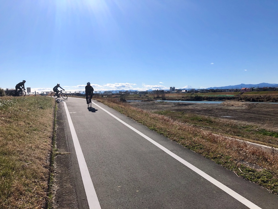
The winters in Kanto often provide distinctly clear blue skies that make for good riding along the many rivers in the metropolitan area. The wide river bottoms provide you with constant sunshine which serves to take away the chill. One winter day I rode straight north from Tachikawa through the Tama Lake area down into the Iruma River Valley.
Tama Lake and Sayama Lake are reservoirs located on the ridge between the Tama River Valley and Tokorozawa. The Iruma River lies about 10 km from Tama Lake. It flows from the mountain area north of Ome down through Hanno and Iruma out to where it flows into the Ara River north of Kawagoe.
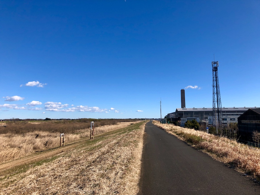
There’s a nice smooth bike path running along the river from Iruma all the way up through Kawagoe. There are many new highways out there which sometimes cut off the bike path, causing you to spend some time crossing them. For the most part though it is a nice smooth journey.
The river curves to the east and then south as it approaches the Ara River and the two run parallel for a few km till they merge on the east side of Kawagoe. The Ara has some nice wide paths on both sides of it running all the way along the border between Tokyo and Saitama. You are treated to a nice view of Tokyo with the Skytree tower in the distance. On this particular ride I ended in Kawaguchi, but the paths continue unobstructed all the way down to Tokyo Bay.
Iruma & Ara Rivers Gallery